7-30-04 Eagle Plains, the Yukon Territory to Dawson, the Yukon Territory Brain dump: Be polite. I waved a everyone, and my hand did not get tired. You never know if the cage you flipped off will come up, see your ass sticking out of a ditch, and figure you are picking flowers. Most people are nice. Most people realize that the Dempster can be a dangerous place, and most people show concern for others' welfare. Stay on the high side. Water drains down, and much of Dempster is banked or crowned. There were constantly changing road conditions, but I ran up to 70 mph when I wasn’t paying attention. The road conditions are dynamic. The possible error in judgment: not stopping for the night in Eagle Plains on the way up. On the other hand, pushing through to Inuvik may have been my only chance to make it all the way, given how the weather worsened. |
I slept for 11.5 hours at the Eagle Plains hotel. After breakfast and a shower, I walked around for a few minutes before hitting the road. It looked like good driving and cool conditions for the day. 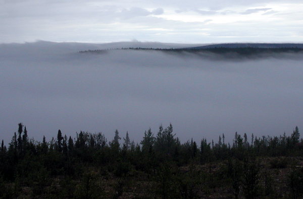 |
I liked the place. In addition to the hotel and restaurant, there was a tire repair shop. The repair guy said that if you can get the tire to him, he can fix it, no matter what condition it is in. He is a tire repair expert. Next door was a flight service station for helicopters. I suspect if I had checked, I would have been able to pull a weather report from flight service. 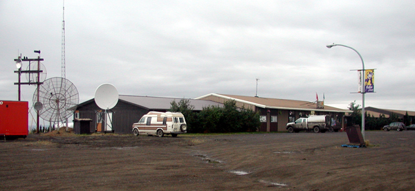 |
You know you are a long ways north when the communications dishes are pointed almost flat to the ground. 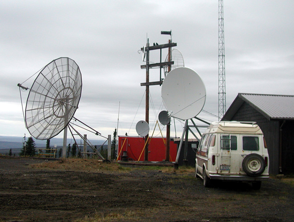 |
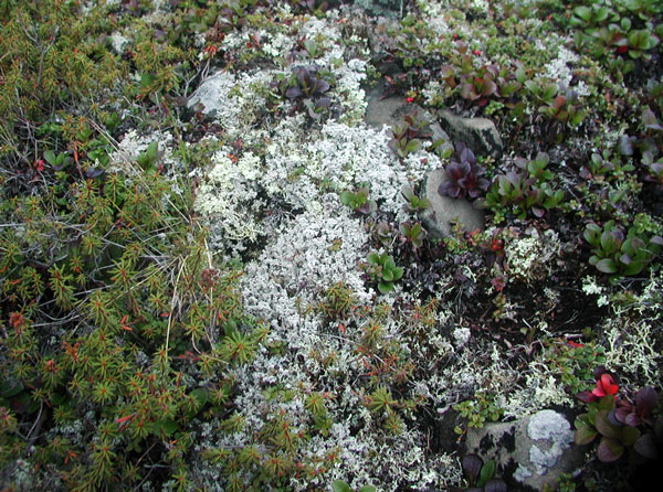
I had to get a shot of the tundra. The tundra was composed of a layer of low-growing plants that felt underfoot like walking on a mattress. It did not look or feel anything like my expectations. I was expecting something with the weight and consistency of peat moss. 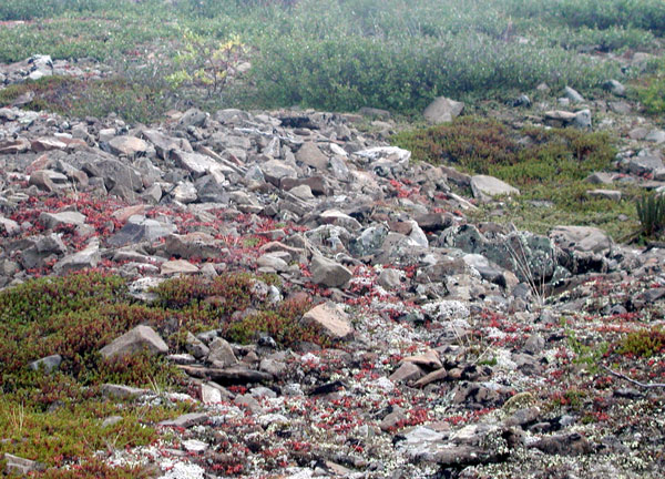 |
 |
Somewhere on the road, a small, black furry animal ran across the road, head down and butt up. I'm not sure what it was, but it looked like something in the martin or ferret family. Funny, but that was about the only wildlife I saw the entire time I was on the Dempster. There were new views from the road going south. I noticed things I'd missed on the way up, like some fairly prominent features at the top of the ridges. 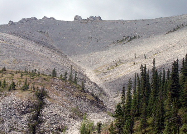 |
There was an
unnaturally blue pool alongside of road above Red Creek. It smelled faintly of sulfur. My first impression was that it was a hot spring, but when I stuck my finger in the water to check, the water was cold. 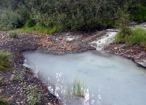 |
I had to stop by Red Creek again. 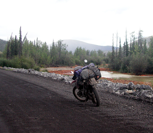 |
There were scattered rain showers. Some of the rain showers were no more than 20 feet wide, but heavy. Here and there, the road turned muddy. The weather was spotty, but better than the trip up. It remained pleasantly cool. 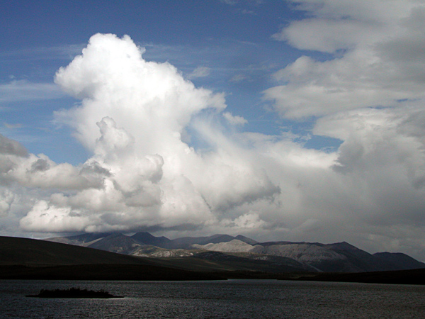 |
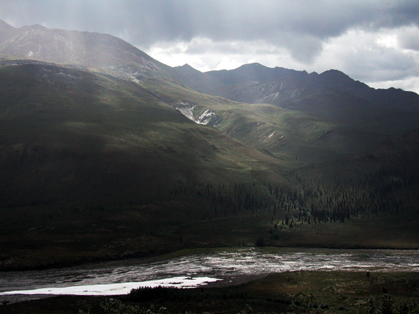
I stopped again to get shots of Tombstone Peak. The landscape was changing by the minute as clouds floated overhead. Tombstone was shrouded in clouds on my way up, but on my return, I was able to make out its distinctive silhouette on the horizon. 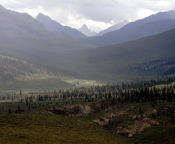 At
the
Tombstone Campground, I talked to person
manning the station. She was starting soon as a student at
Fairbanks University.
She grew up near the Klondike Lodge.
I tried to find origin of blue pool.
Were the mountains uplift or volcanic? The answer to my question
about the pool was that its
springs percolate through minerals, including sulfur and calcium.
They were not warm springs. The mountains were mainly formed
through uplift.. I told her about the Alaskan volcano, Mt. Spurr, outside of Anchorage. I had learned at the Eagle Plains hotel that the volcano was showing signs of activity. She wrote it down. I asked her if her major was to be Earth Sciences, and got a “yes”. She showed a strong interest in the possible upcoming Alaskan event. |
A little more about trees: the further north you go and the higher you reach in altitude, the smaller the trees become. It seems a little strange at times, to get off the bike and walk into a thick forest made up of trees no more than five feet high. Going north, the trees finally disappear somewhere around the Richardson Mountains.  |
 |
Fireweed added bright splashes of color throughout the area. 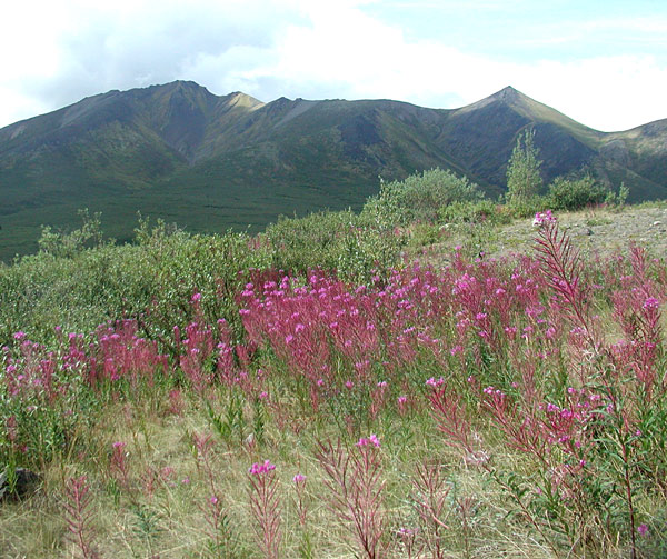 |
| My speed kept on creeping up the closer I got to the end of the Dempster. I began a sustained run of 70 miles per hour, and found out that I had a stuck throttle. The bike showed slight signs of overheating. I hoped that the mud clogging the bottom of the bike was responsible for both problems. I finally hit the pavement and rolled it to 90 mph. After a brief run, I slowed back down, pulled into Klondike Lodge, and booked a room. Gasoline consumption from Eagle Plains to the Klondike was 5.2 gallons for 230 miles, right at the end of my range before reserve. The Klondike had a spray station down by the gas pumps. I chunked in a Canadian dollar and sprayed off large clots of accumulated mud. I dowsed the radiator and hoped that was the answer to my overheating.There was a dark cloud to the south, but the wind was pushing it by. Two unfortunate casualties of the Dempster: both of my rain boots ripped. I'm back to garbage bags. |
Over to Dawson and the Downtown Hotel. The bike was naked for a change. The gear was left at the hotel. This time, I get to meet Dick. He confirmed the horrible road conditions near Fort McPherson. Two BMWs had headed north earlier. He gave them a satellite telephone to carry during the trip. These were the full-sized bikes, not like my 650. One rider got into the marbles and went over the handle bars. Two BMW drivers came in while we were talking. They had just come off the Top of the World Highway and said conditions were good. I planned to head that way in the morning, westward into Alaska. We talked for awhile longer, and then I asked Dick if I could take a picture. He agreed. I wanted a counter to the picture Reid had shown me. And, Reid, Dick isn't grumpy. 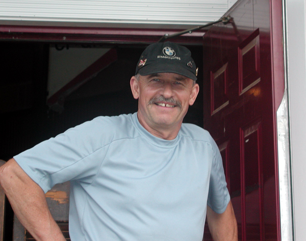 Dick Van Nostrand |
After a few more pleasantries, I headed back towards the Klondike Lodge. But before I got back to the hotel, I turned off onto a road alongside Discovery Creek, to visit Dredge #4. 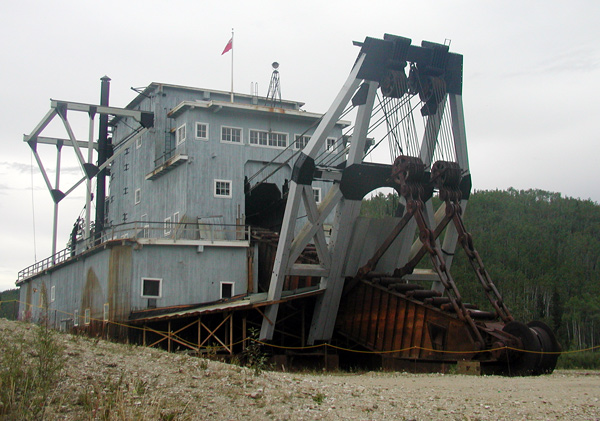 The dredge is big, well-preserved, and when I was there, had no one around to keep me out of trouble. |
I didn't get into trouble. I didn't "drive the boat". 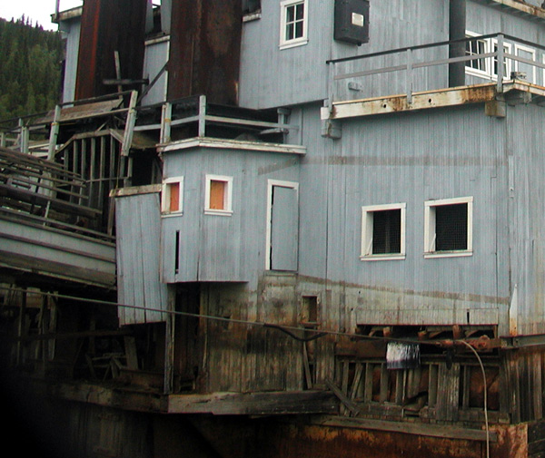 |
I needed to check the status of Mt. Spurr. It might come into play later on my route. That wasn't going to happen in Dawson: the news was always at least a week old. Papers were delivered infrequently. Dick told me, "The world could end and we wouldn’t know." The Top of the World Highway is paved from Dawson and then changes to gravel near the town of Chicken, Alaska. Another ferry ride is required across the Yukon River to get to the start of the highway from Dawson. I'm running into a lot of BMW’s because of a gathering held in Seattle, Washington. Many decided to tour the north after the meetings were over. The Klondike Lodge: no telephones (except 1 pay phone) no news, and 3 cable channels. |
   |
 |