|
7-17 04 Flagstaff, Arizona to Beaver, Utah: The Kaibab and The Kanab In the morning, my stomach was still uneasy. I pulled on my treated boots, loaded up the bike, and hit the road. The ’89 took me once again past Sunset Crater. The weather was cool and sunny, with one isolated thunderstorm off to my left. 89 rolled through open expanses of desert and then dropped down into a canyon to the Navajo Bridge crossing of the Colorado River. |
I stopped past the bridge. I was immediately hit by heat. I peeled off my jacket and insulated shirt, and walked out on the bridge to take a few photographs of the bridge, river, and canyon. 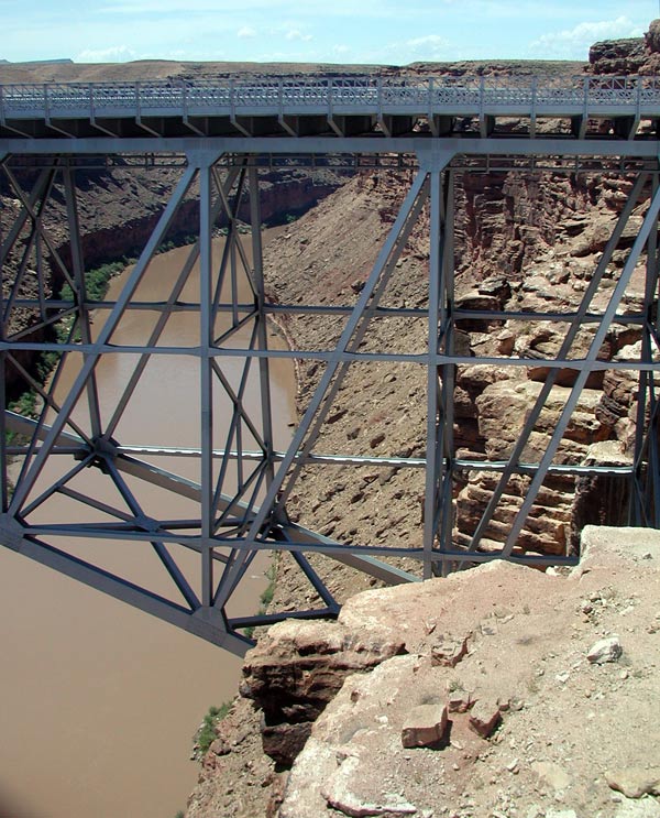 |
The bridge spans Marble Canyon, which in turn becomes the Grand Canyon. The water of the Colorado river was a roiled, muddy brown. In the distance loomed the Vermilion Cliffs. 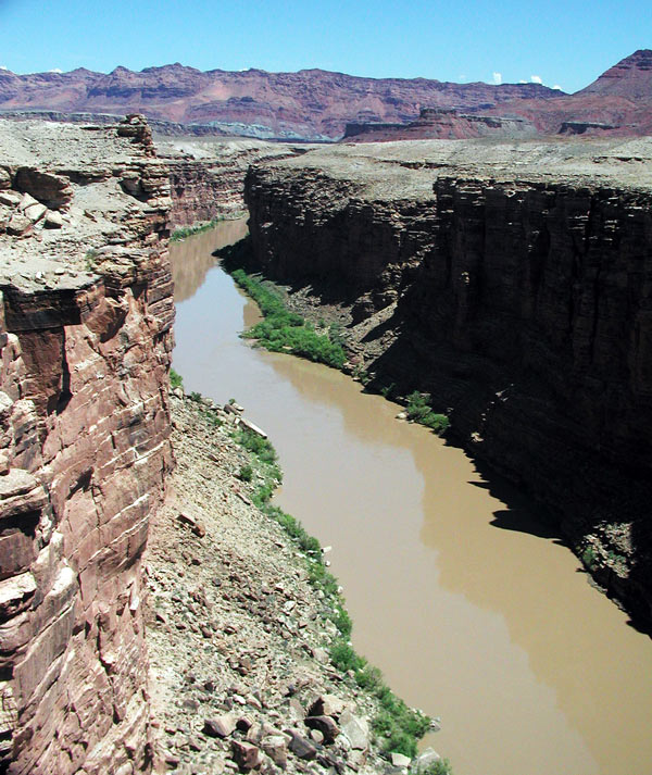 |
From the bridge, the road climbed back up into cooler temperatures. The road followed the base of the Vermilions for almost 40 miles. 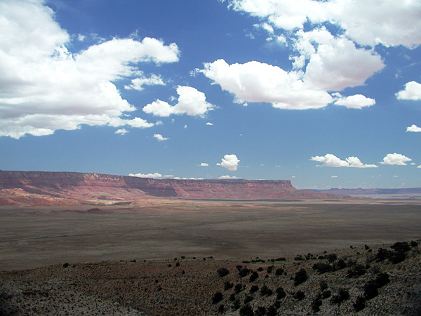 After passing the last of the cliffs, the road began an abrupt twisting
climb, heading towards the storm I saw earlier. |
|
I stopped at a vista point to put on my rain gear, and the wind was so strong I needed to brace the bike to keep it from falling off the side stand. A fellow traveler stopped to tell me I was going to get wet, and asked if I was heading to the Grand Canyon North Rim. I responded that more than likely, I would head directly to Kanab to get away from the rain. He warned me about the one cop in the area. We talked for a few more minutes, and then parted ways. Shortly after I pulled out of the vista point, I passed the cop going in the opposite direction. It began raining harder, and I slowed down. The rain gear kept me warm and comfortable, but the boots were a miserable failure. My feet were soaked. The road climbed to the Kaibab Plateau into a heavy forest. The air was now cold enough to fog my visor, and tendrils of mist floated over the road. The sky above began to lighten, and I finally burst through the clouds at the back edge of the storm and into sunshine, to begin a descent towards Fredonia and the desert floor. Fredonia is a small town with a few houses and a gas station. I pulled off to get gas and picked up a package of trail mix and a large can of iced tea. The heat was back and was oppressive, so I removed and packed the rain gear. I also took off my boots and socks and laid the socks out on the hot pavement to dry. I sat at a picnic table in the sun and drank my tea. I still wasn't hungry. The trail mix went into my tank bag uneaten. |
Back up on the bike, heading towards Kanab. There isn’t much to the town of Kanab, but past the town, the road began to climb through a series of sandstone cliffs: the shaded reds, grays, and whites of Kanab Canyon. 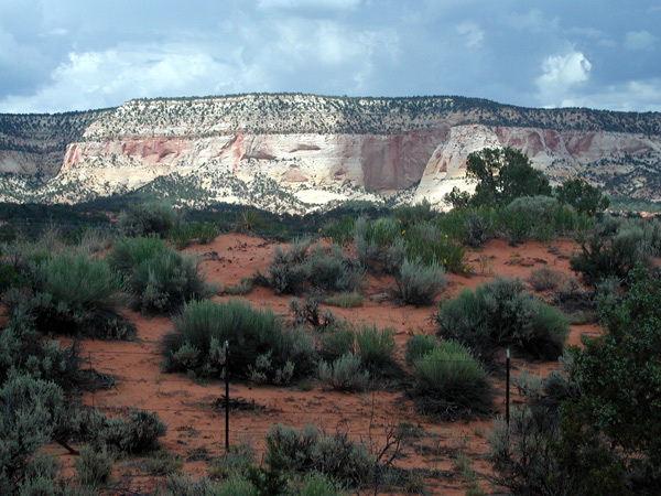 The scenery was breathtaking. |
|
Once the road left the canyon, it followed the Virgin River through verdant farmland. At the junction of 89 and 14, I turned west on the 14 and again began to climb. The signs said the road topped out at 10,000 feet. At a viewpoint overlooking Zion, I stopped to put the rain gear back on for warmth. The air was too hazy for a good view. Every time I stop, I forget something… usually earplugs, sometimes gloves (reach back between the pack and the duffel… still there, and pull them forward). This time it was my glasses. I noticed the view appeared dull and flipped up my visor to see if its plastic was hazing my sight. There was no change, and I hurriedly stabbed my finger up to push up the glasses, only to poke myself in the eye. I pulled off the road; reached back to the crevice between the Alpha pack and the duffel- still there. There was a moment of panic, though, because I only carried two pairs of glasses. I hadn’t planned for the loss of a pair so early in the trip. In the Dead Creek area in the high mountains of the Dixie National Forest, the road followed a small creek through large jumbles of volcanic rock. This felt like high country, riding in sunshine weakened by altitude and passing campers and fishermen scattered along the creek. The road finally left the heights and dropped down a 4 –8 % grade, into a canyon through the Cedar Breaks area. At the end of the canyon and Cedar City, the road joined the I-15. I thought about stopping but it was still early, so I turned north on I-15 and kept going until Parowan. I tried to get a room at Parowan using a coupon, but nothing was available (right). Next time, ask about availability first, and then present the coupon. There seemed to be plenty of empty rooms, so it may also have been a motorcycle bias. Now back on the 15 and headed for Beaver, Utah, there was rain to the north, and I was gaining on the storm. |
To my right was a rainbow over the hills. The rainbow persisted over a few miles. I pulled into a rest area to don the rain gear, top only. I figured I’d be stopping soon enough and did not feel like bothering with the pants. The rainbow loomed larger, as did the shaft of rain generating it. 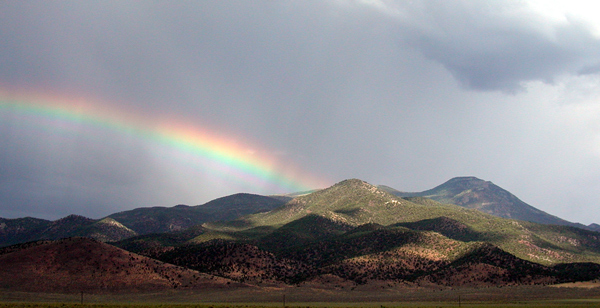 Time to go. |


